Image by Sage Levy
Worldwide, buried dangers lurk: 110 million buried landmines, unexploded ordnance (UXO), and explosive remnants of war (ERWs) result in an annual 10,000 casualties. For every one landmine that is removed, a further 100 are planted, and the process for removal is hazardous, costly, and inefficient. Over 7000 additional casualties come from construction utility digs in the U.S. from inaccurate maps (accidentally striking a utility being the primary cause). To mitigate these challenges, researchers at the University of Maryland (UMD) are developing a more reliable and robust system for mapping geophysical anomalies, one which has the potential to outperform any technology currently available.
Existing approaches to the removal of buried landmines are rife with difficulties. While single-sensor unmanned aerial vehicle (UAV) methods yield frequent false flags, multi-sensor land-based systems are expensive to manufacture, cumbersome to transport, terrain limited, and require hazardous on-site participation and exposure to potential blast radii. All are limited by environmental and weather conditions, and the average cost of removal per landmine using these systems is $1,000 USD.
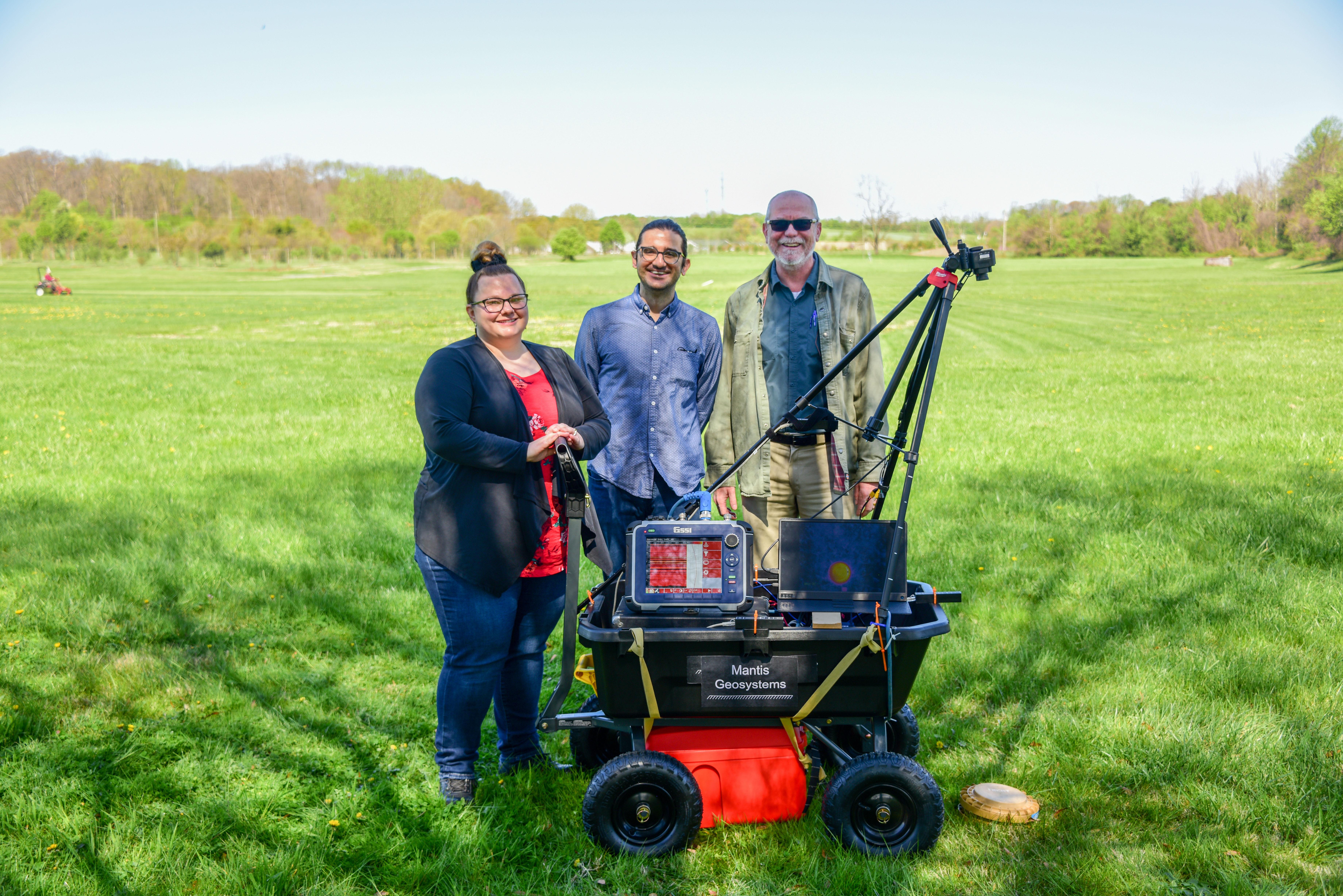
UMD researchers Daniel Lathrop, professor of physics, Vedran Lekić, associate professor of geology, and Heidi Myers, Ph.D. student, are developing a method and system that provides a cost-efficient, easily deployed, terrain independent, and automated approach to mapping geophysical anomalies. Among other uses, the invention allows for the detection and remediation of landmines and UXO, coupling geophysical and environmental remote sensing with unmanned aerial or ground-based vehicles.
The researchers' invention combines environmental sensors with ground penetrating radar (GPR), forward looking infrared (FLIR) cameras, light detection and ranging (LiDAR), and a novel fluxgate magnetic gradiometer. The process for detection and remediation of the mines involves utilizing the sensor package on an aerial platform flying one to three meters above ground, or on a ground-based vehicle, leveraging machine learning techniques with onboard computing to produce rapid-response information about detected munitions in a given field area.
Using data from ground-based geophysical sensors, Lathrop, Lekić, and Myers have developed convolutional neural networks capable of detecting buried unexploded ordnance (UXO) with 95% accuracy. By remotely detecting where UXO are buried with high confidence in diverse environments, their invention will enable efficient demining, reducing the cost of geophysical munitions surveying, increasing the speed of UXO remediation, and potentially saving thousands of lives each year.
This invention, “Vehicle-Based Anomaly Detection Using Artificial Intelligence and Combined Environmental and Geophysical Sensor Data,” was named a UMD Invention of the Year in the Information Sciences research category. The event was held on May 3, 2022, at Innovate Maryland, a campus-wide celebration of innovation and partnerships at UMD.
